Agenda
Mapping What the State Does Not See: Balik Countermapping in Indonesia’s New Capital Project
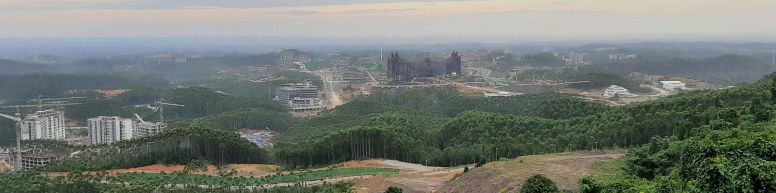
At the BeNeLux Geography Conference held on 10th April at Leuven, Agung Jauhari presented his research on countermapping in Indonesia’s new capital, Nusantara. He examined how official spatial planning maps of the “forest city” reduce the lived landscape of the indigenous Balik community to a “greenfield”.
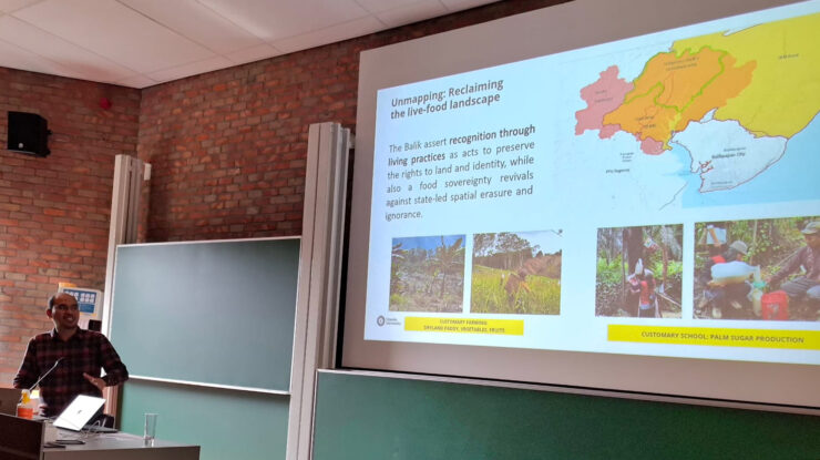
Using concepts of cartographic violence and sanctioned ignorance, Agung showed how planning maps can erase long-standing socio-ecological relationships of the Balik. Through mobile ethnography and participatory mapping, his research remaps these more-than-human entanglements back into the story of Nusantara by marking ancestral graves, inherited lands, honey trees, and traditional foraging routes – challenging the state’s narrative that the site of development was empty to start with.
His presentation was part of the panel “Countermapping of Power and Space in Development Geography”, convened by Kei Otsuki. With the goal of responding to the persistence of highly exclusionary development visions, it brought together contributions on a range of related cases – including militarized and colonial cartographies of Minembwe, port infrastructures and geopolitical reconfigurations of Eastern Europe and citizen science and counter-surveillance in smart cities. Together these presentations highlighted how mapping is deeply entrenched in power, exclusion and territorial change.
While Agung’s research echoed these themes, his presentation communicated why countermapping matters as a method of resisting the simplifications that often accompany large-scale development projects. By bringing the Balik community’s landscape knowledge into view, his work pointed toward community-based alternative approaches to mapping that are more attentive and accountable to lived experience and just futures.